
How Do You Find Out Where
Underground Drains Run?
Records, chamber inspections, CCTV and electronic locating, and what each one can and cannot tell you about the route of a pipe.
- Author
- Jamie Hopcraft, Flowcraft Groundworks Ltd
- Category
- Drainage Investigations
- Published
- Published
Underground drains can often be traced using a combination of existing records, chamber inspections, CCTV and electronic locating. The right method depends on the pipe, available access and how accurately its position needs to be recorded.
This is useful before an extension, property purchase, drainage repair or development. It helps homeowners, surveyors, architects and contractors understand where drainage runs and which areas still need investigation.
A CCTV drainage survey shows the inside of an accessible pipe. Establishing its route across the site may also require locating equipment and measurements above ground.
Records
Existing drawings, previous reports and sewer records give a starting point, checked against the site.
Chambers
Accessible chambers reveal pipe sizes, connections and flow direction. Flow or dye testing can confirm which fixtures feed them.
CCTV
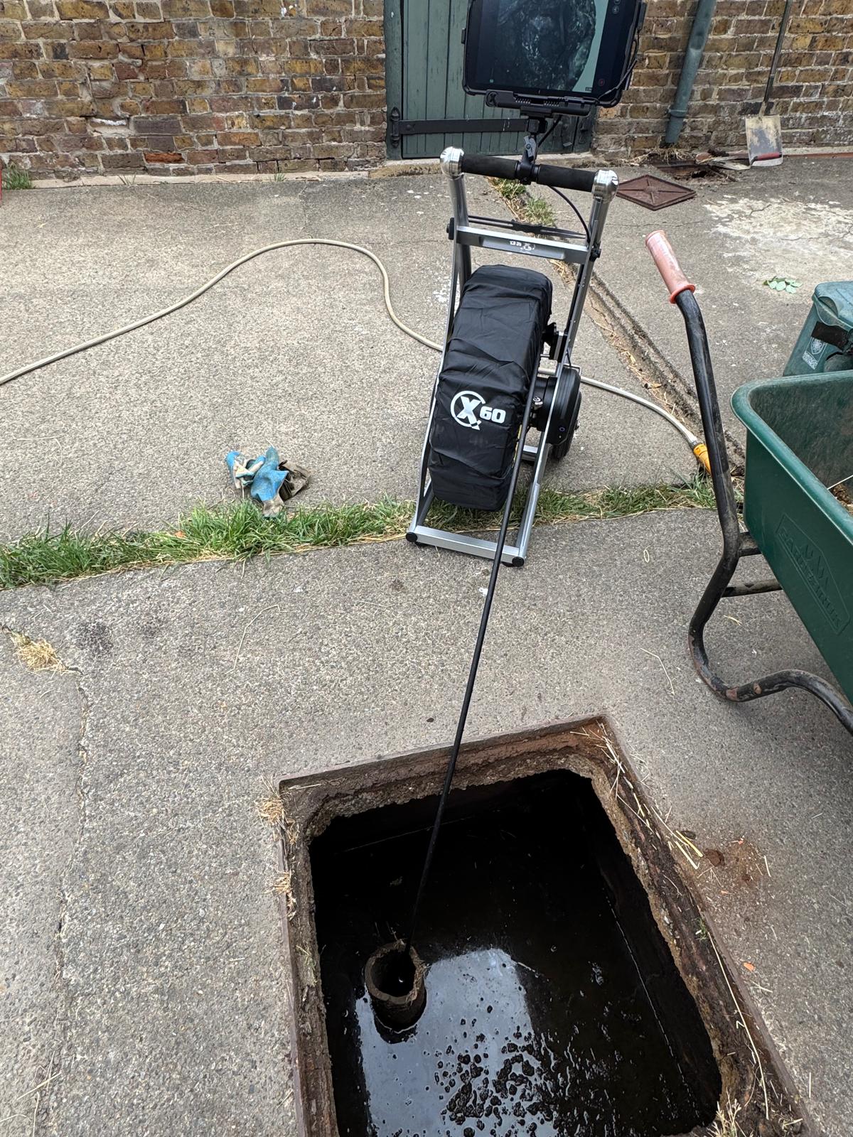
A camera shows bends, branches, materials and defects inside accessible pipework.
Locating
A sonde inside the pipe and a locator at the surface establish the route and an estimated depth.
Start with the question the survey needs to answer
Before arranging the visit, explain what the information will be used for. Finding one damaged joint for a repair is a different task from recording a complete drainage network for a designer.
Useful questions include:
- Does the drain pass beneath the proposed extension?
- Which chamber receives water from this property?
- Where does the rainwater pipe discharge?
- Is there a concealed chamber or change of direction?
- What drawing and level information does the designer need?
The agreed scope should identify the area to investigate and the required record of the findings.
Review records and accessible chambers
Existing drainage drawings, previous survey reports and sewer records provide a starting point. Their completeness and accuracy should be checked against the site, particularly where buildings or drainage have been altered.
Accessible chambers can reveal pipe sizes, connections and flow direction. Controlled flow or dye testing may help establish which fixtures feed a particular chamber.
Seeing water arrive confirms a connection under the test conditions. It does not, by itself, establish the precise route taken underground. Similarly, drawing a straight line between two manholes does not prove the pipe follows that line.
Use CCTV to inspect the accessible pipework
A camera can help identify bends, branches, changes in material and visible defects. These observations help build a picture of the network and guide further investigation.
The distance shown on the camera counter records progress along the run. It is not a surveyed coordinate on a site plan, particularly where the pipe changes direction.
Inspection may stop at an obstruction, tight bend, displaced joint or inaccessible section. The report should record where inspection stopped and what remains unknown.
Locate the pipe from above ground
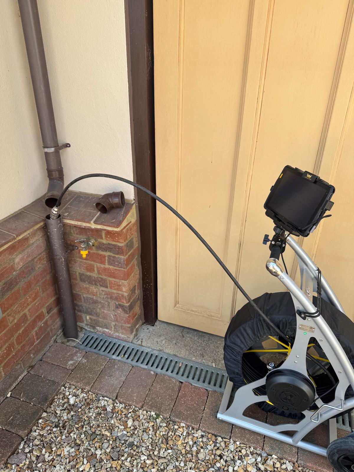
A small transmitter, called a sonde, can be carried inside suitable drainage on inspection equipment or a rod. A compatible locator detects its signal from the surface. Locating it at successive positions helps establish the route. Radiodetection describes this use of sondes and rods for locating pipes and ducts.[1]
Position and depth readings need careful interpretation. The depth relates to the transmitter's position; it should not automatically be labelled as the pipe's invert level, which is the bottom of the pipe internally. Interference and site conditions can also affect readings.
Surface marks should be recorded promptly using photographs, measurements or the agreed survey method. Marks alone are a temporary record.
Decide what needs to appear on the drawing
For an initial investigation, a clearly labelled route sketch may be sufficient. Design work may require measured positions and levels tied to a site survey. A useful drainage drawing distinguishes:
Chambers and pipework directly inspected
Positions established by electronic locating
Connections confirmed through testing
Routes inferred between observed points
Unsurveyed or inaccessible sections
If a CAD drawing is needed, provide the existing topographical survey or base drawing before the visit. Agree the coordinate reference, level information and intended use with the person preparing the design.
A route sketch, camera distance and estimated locator depth should not be presented as a fully measured drainage survey.
Account for access and the size of the system
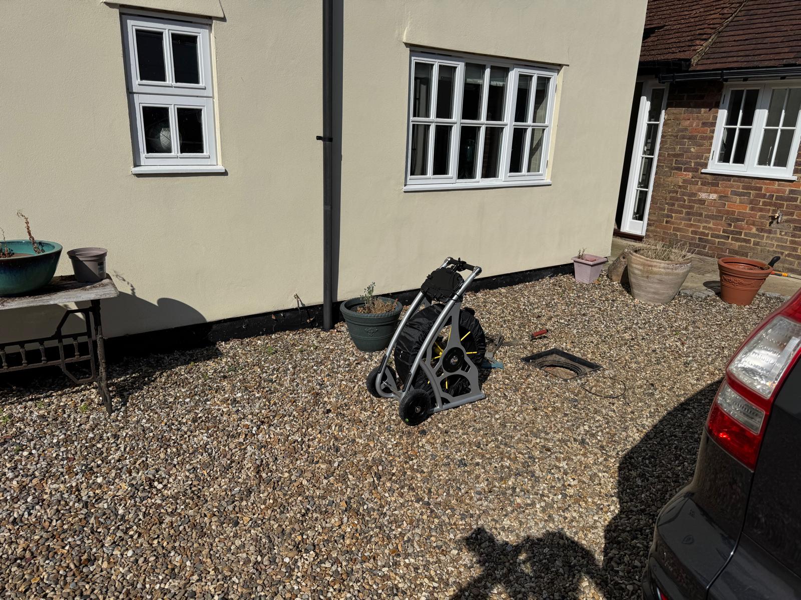
Different drainage systems need different equipment. A short domestic run may be accessible with a push camera, while a long or large-diameter pipe may require a crawler camera and additional tracing arrangements.
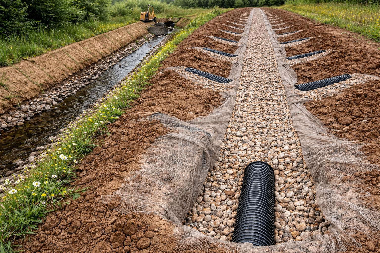
A culverted watercourse also needs its own investigation scope. The requested endpoint, access, bends, water level and deposits all affect what can be inspected.
The quotation should explain the intended coverage and how any additional cleaning, access work or specialist equipment will be dealt with. Reaching an obstruction should be reported clearly, with a recommendation for the next step where appropriate.
Use the findings to plan the next stage
Once the route is understood, the findings can support repair planning, drainage design or further enquiries about a property.
Tracing the physical route does not establish ownership, rights of access or permission to build near it. Those matters need separate confirmation with the relevant owner or authority.
A drainage trace also covers only the drainage investigated. Excavation planning must consider other buried services. HSE guidance calls for service information, suitable locating equipment and safe digging practices together.[2]
Frequently asked questions
Can you find a drain without digging?
Often, yes, where suitable access allows inspection and locating equipment into the pipe. If access is missing or the pipe cannot be followed, further investigation or carefully planned excavation may be needed.
Can a camera find a hidden manhole?
A camera may reveal entry into a chamber that has no visible cover at the surface. Suitable locating equipment can help establish its position, but further work may be needed to confirm the cover and obtain access.
Can you work from a floor plan?
A floor plan can help explain the investigation area and record findings. For design or construction, the required measurements and drawing accuracy should be agreed separately; a floor-plan overlay is not automatically a measured site survey.
What should I send before requesting a quotation?
Send the site address, available plans, photographs of accessible chambers and the question you need answered. Include any known pipe sizes, approximate lengths and drawing requirements from your surveyor or designer.
Discuss a drainage investigation with Flowcraft
Flowcraft provides drainage investigation and consultancy across Hertfordshire, Buckinghamshire and Bedfordshire.
If you need to establish where drainage runs, send us the site information and intended use of the findings. We can review access, agree the investigation scope and quote for the work.
Email jamie@flowcraft.uk or use the enquiry form to discuss your investigation.
Further reading
Related Services
If this guide has answered the question you came with, these are the services it leads to.
Related Guidance
Related guides and investigations from the Flowcraft Knowledge Centre.
About the author
Jamie Hopcraft
Jamie Hopcraft is the director of Flowcraft Groundworks Ltd and has more than 20 years of practical experience in drainage, groundworks and below-ground investigations.
Need To Know Where
The Drains Run?
Send us the site information and the intended use of the findings. We can review access, agree the investigation scope and quote for the work.